The Early Technology Developments that Led to SMAP
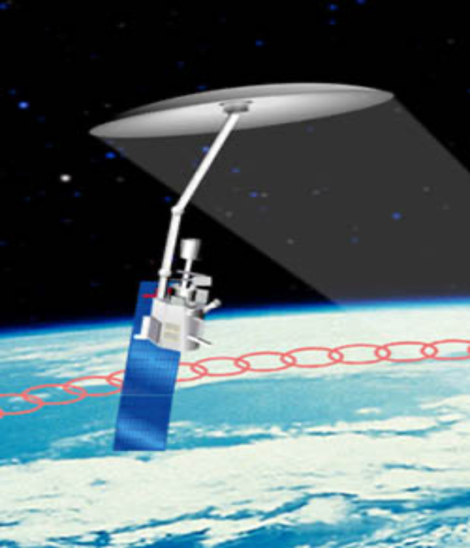
An early depiction of a SMAP-like mission, created by the Ocean-salinity Soil-moisture Integrated Radiometer-radar Imaging System (OSIRIS) project. (Credit: E Njoku / JPL)
Launched in 2015, the Soil Moisture Active Passive (SMAP) mission measures soil moisture and freeze-thaw globally and helps aid our understanding of drought, floods, weather forecasting, crop productivity, and the links between water and the carbon cycle. The observatory includes a large, 6-meter mesh antenna that rotates every four seconds and focuses L-band signals back to the onboard radar and radiometer instruments.
When SMAP was put forward as a priority mission by the National Research Council’s first Decadal Survey for Earth Science in 2007, much of the groundwork had already been laid by prior technology investments.
The SMAP measurement concept was first proposed by a 1998 study at the Jet Propulsion Lab (JPL), funded through ESTO’s Instrument Incubator Program (IIP). Named the Ocean-salinity Soil-moisture Integrated Radiometer-radar Imaging System (OSIRIS), the study developed instrument performance requirements, designed radar and radiometer electronic subsystems, and designed antenna feeds and the rotating mesh reflector for a SMAP-like mission.
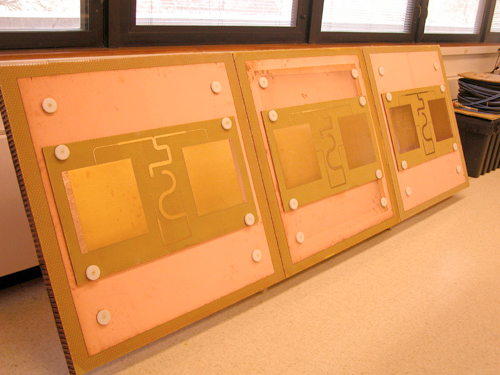
The full-scale dual-frequency feed array developed under the MOSS project. (Credit: M. Moghaddam / University of Michigan)
A second IIP project – Microwave Observatory of Subcanopy and Subsurface (MOSS), developed at the University of Michigan and JPL starting in 2002 – built and tested a prototype dual-frequency radar antenna feed system that, coupled with a 30-meter mesh antenna, could enable 7-to-10-day repeat observations of subcanopy and subsurface soil moisture at 1 km resolution. A smaller version of the antenna design from this project later became the baseline for SMAP.