NASA Agricultural Digital Twin will help farmers improve crop yield forecasts

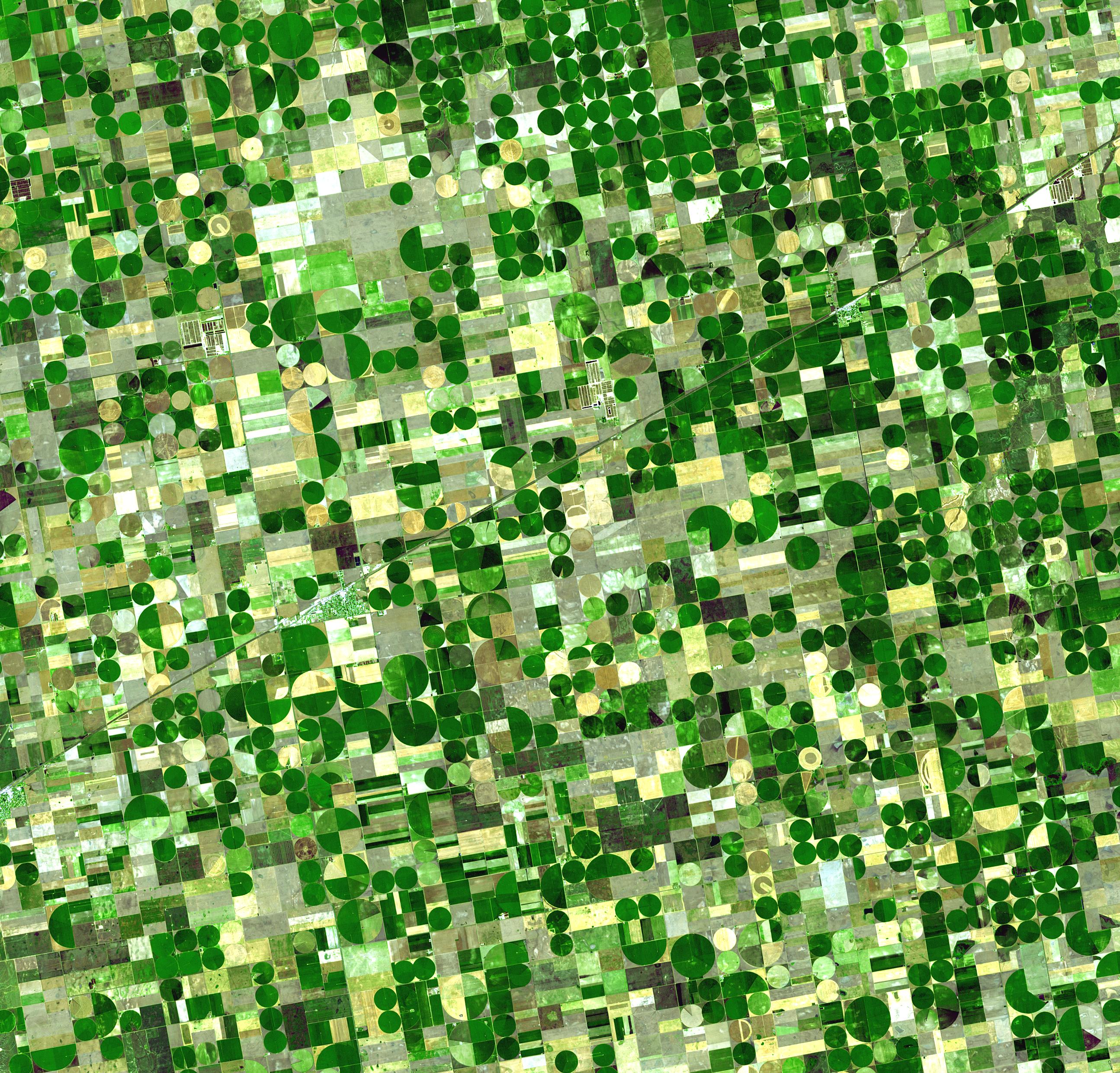
A satellite image of crop circles scattered around southern Kansas. Tools like the Agricultural Digital Twin will help farmers leverage NASA data to maximize crop yield and minimize loss due to extreme weather. (Image: ASTER / NASA)
03/26/25 – Whether crops fail or flourish depends on a complex web of variables, including soil moisture, nutrient load, and weather. Incorporating these variables into reliable models is essential for predicting crop yields and tracking food security in the United States.
A team of researchers supported by NASA’s Earth Science Technology Office (ESTO) is developing an agriculture information system that will provide farmers with better agricultural productivity forecasts. The “Agricultural Digital Twin” merges data from NASA remote sensors with data from sources like the USDA’s National Agricultural Statistics Service (NASS) to inform custom descriptions of crop yield for farmers, paving the way for detailed crop forecasts tailored to suit a farmer’s specific needs.
For example, farmers could use the Agricultural Digital Twin to simulate how a certain variety of corn might fare in Iowa if there’s a drought, or whether a particular species of soybean planted in Kansas fares better when it’s planted earlier or later in the year.
“Farmers might find it useful for tracking the consequences of outlier events, like a derecho, or deciding which type of seed to use,” said Rajat Bindlish, a Physical Research Scientist at NASA’s Goddard Space Flight Center (GSFC) and Principal Investigator for the Agricultural Digital Twin.
Bradley Doorn, who manages the NASA’s Agricultural Earth Action portfolio, explained that the goal is to help farmers leverage NASA, NOAA, and USDA data to assess risk and maximize their yield.
“We’re not telling farmers when to plant crops or which crops they should plant, but we’re giving them a tool to help them make those decisions,” said Doorn.
The core of this effort revolves around the novel coupling of NASA’s Land Information System (LIS) hydrology model with a crop yield model, the Decision Support System for Agrotechnology Transfer (DSSAT). Bindlish explained that crop yield models currently struggle to account for surface hydrology, and merging LIS with DSSAT make agricultural forecasts more reliable.
“The Agriculture Digital Twin leverages the strengths of state-of-the-art crop and hydrology model along with NASA’s remote sensing observations,” said Bindlish.
The result was a complete framework for a dynamic digital twin that simulates physical constraints related to agriculture. With this framework complete, Bindlish and his team are now exploring potential case studies to test their model’s efficacy.
“This modeling framework makes it very easy to assess NASA remote sensing data,” added Pang-Wei Liu, a Hydrological Research Scientist at GSFC and Co-Investigator for the Agricultural Digital Twin. “I think that is very valuable information for the agricultural community.”
Ultimately, Bindlish and his team hope to share their work through a user-friendly web portal. In addition, their software will be flexible enough for future improvements and infusions with other Earth system digital twins.
Bindlish stressed that this work couldn’t have happened if it weren’t for the productive collaboration between USDA and NASA. “It’s all testament to the team that we are at this point,” he said.
ESTO’s Information Systems Technology (IST) program funds Bindlish’s research and supports NASA’s many other Earth System Digital Twin projects. For more information about working with NASA to develop new technologies for studying Earth, visit esto.nasa.gov/funding-process.
Gage Taylor, NASA Earth Science Technology Office